11 February 2026,
Wednesday
11 February 2026,
Wednesday
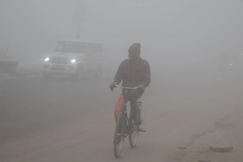
A man heads out for his daily routine, cutting through the fog.
Jaipur: A significant change in the weather of North-West India may be observed in mid-February. Currently, a Western Disturbance is active in the middle and upper tropospheric westerlies in the form of a trough, while the subtropical westerly jet stream is flowing at high speed over North-East India. Meanwhile, according to the Meteorological Department, two new Western Disturbances will successively affect the Western Himalayan region—the first will become active from February 13 and the second from February 16, 2026. These two systems will determine the direction of the weather in the coming days.
Due to the influence of these disturbances, an increase in rain and snowfall is expected in Jammu and Kashmir, Himachal Pradesh, and Uttarakhand. Fresh snowfall in the higher reaches will intensify the cold and may lead to cold wave-like conditions. This will also affect the plains—Punjab, Haryana, Delhi, and Western Uttar Pradesh—where cloudy skies, light to moderate rain, thunderstorms, and strong winds may be experienced.
Rajasthan will also be affected, particularly the northern and western districts, with chances of cloudy skies, drizzle, or light rain. Daytime temperatures will drop, and the weather may remain pleasant but cold.
Overall, these two Western Disturbances are expected to bring weather instability, a drop in temperatures, and an increase in rainfall activities.
Big News
View AllJaipur
Rajasthan
Trending